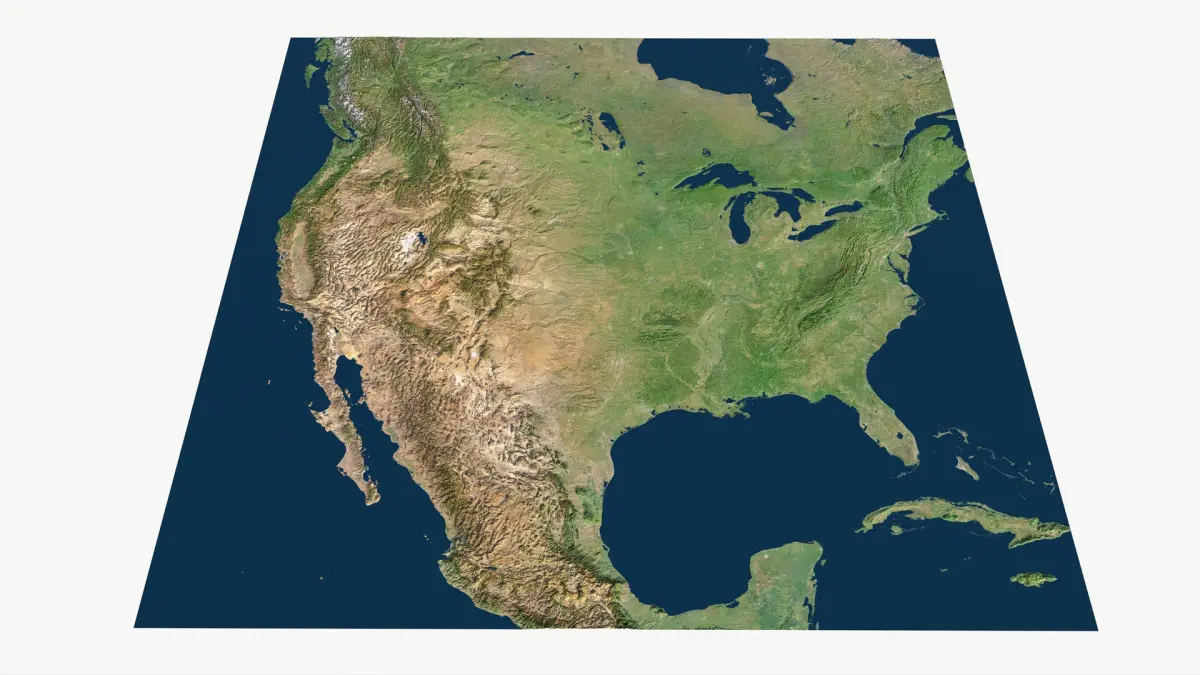
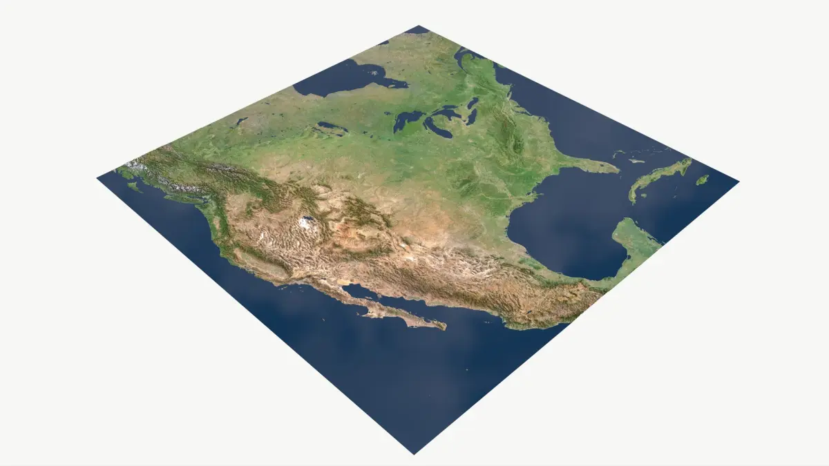
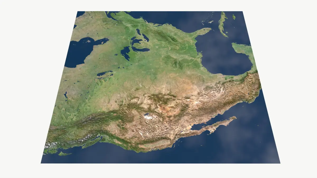
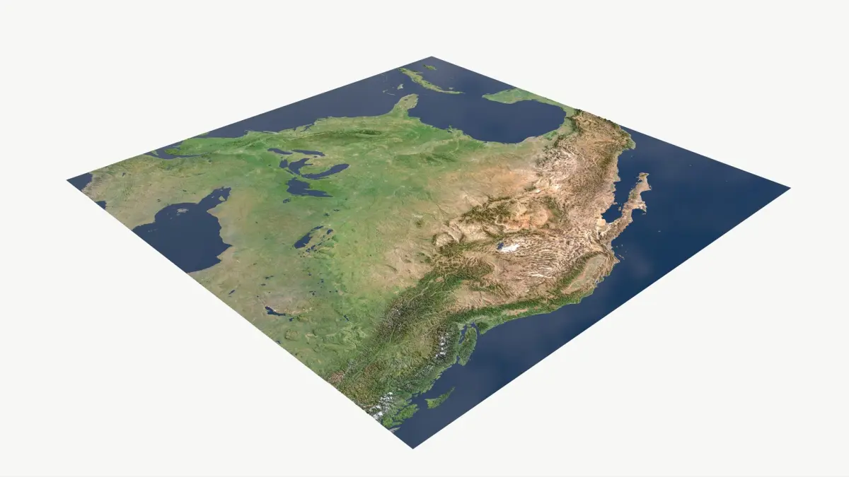
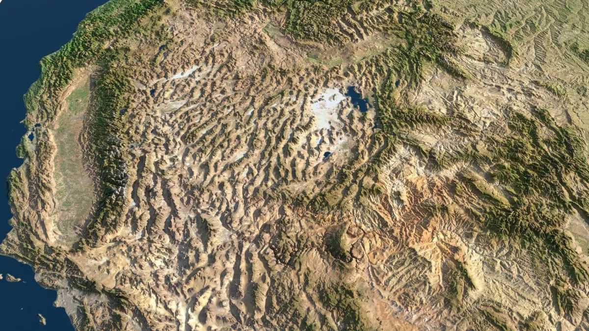
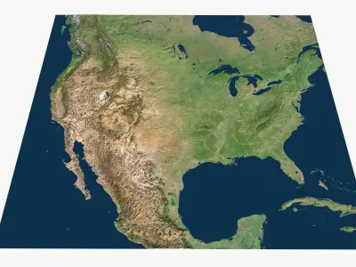
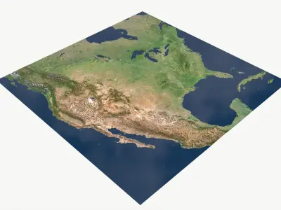
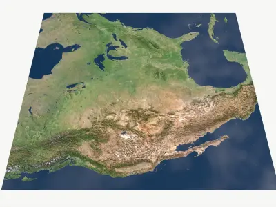
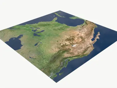
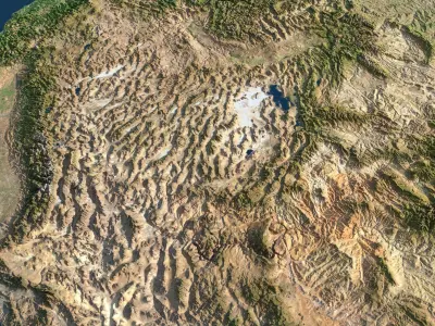
This map covers whole mainland US and lots of Canada, Mexico,.. The central focus in on US. Accuracy is good, dem was made from quality 90m Cupernicus data with lots of details. The terrain is huge (3100 x 3100 miles), but still you get more details you would expect. Projection is ESRI:102009 , which it think is the best choice for such area with accurate proportions. Height is a bit exaggerated. Added a lot of options, checked it multiple times from all angles, looks good.
Key Features
• High quality asset - StemCell certified.
• Clean topology (quad-based)
• Realistic proportions (ESRI:102009)
• Tested texture maps
• Industry-standard PBR metalness–roughness workflow
Technical Specs
• Projection: ESRI:102009 - North_America_Lambert_Conformal_Conic
• Real world scale: 4995.95 × 4878.51 km (3104.34 × 3031.37 miles)
• Elev: -166m to 5,587m (Relief 5,753m)
• Data type: Float32 (32-bit float)
Geometry (100% quads) & LODs (tris)
• Adaptive mesh optimization for quad lowpoly and tris versions — higher poly-tris density in detailed/curved areas, reduced in flat regions.
Two options:
1. 100 % quad based (16M, 4M, 1M, 256k (optimized))
2. Tris, adaptive optimized (LOD0(4.194M), LOD1(1.048M),LOD2(262k),LOD3(65k)
Note: All quad meshes and tris LODs are located in: All_Meshes_LODs folder.
Textures & Maps (Lossless PNG, 8-bit)
• Available resolutions: 16K (optional) / 8K (primary) / 4K (optional) / 2K (optional)
• All resolutions are set up for easy swapping (drag-drop & replace) with minimal - ZERO texture re-linking required.
Included Maps:
• BaseColor — Satellite / City / Hiking-topo / Topo v1 / Topo v2,.. Total 9 different bcolor maps!!!
• Ambient Occlusion
• Roughness
• Metallic
• Normal (OpenGL Y+, MikkTSpace)
• Opacity (Only USA, masked out other countries)
Channel-Packed (optional):
• ORM (Occlusion, Roughness, Metallic)
• Mask Map (Metallic, Occlusion, Detail, Smoothness)
Displacement(16384 x 16384 px):
• 16-bit PNG & 32-bit TIFF
Overlays:
• Three different overlays (countries, states or detailed administrative).
Masks
• Oceans, lakes, lakes&oceans combo mask
Note: All textures & tex resolutions are in All_TEXTURES folder
Ready to Drop & Render
• All render shots were done in standard linear settings without any exposure adjustments or tone mapping.
• Zero hassle – just download - load & go/render.
Native | 3ds Max 2025 | V-Ray Blender 3.4 | Blender Render 3,4 Maya 2017 | Arnold 5.3.1.1 Maya 2015 | V-Ray 3.2 Cinema 4D R18 | Arnold 3.2 Cinema 4D R18 | Advanced Render 3.2 3ds Max 2015 | V-Ray 5.20.23 3ds Max 2018 | Arnold 7.0 FBX glTF USDz