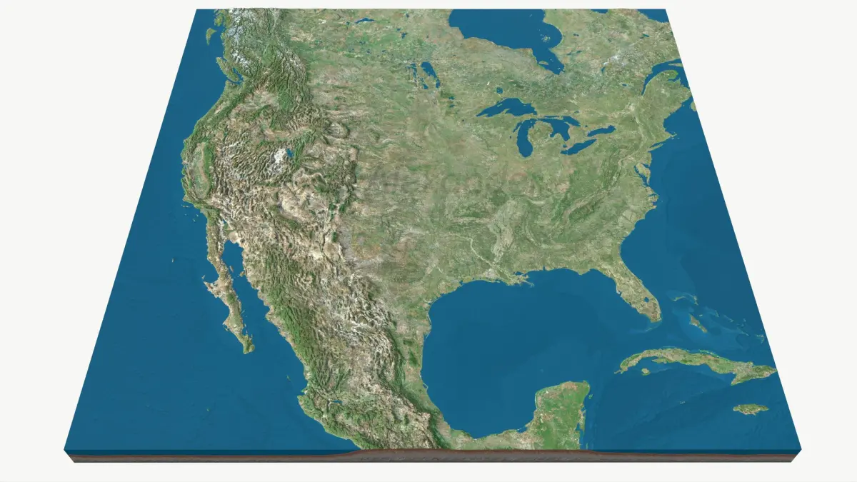
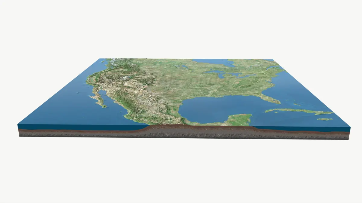
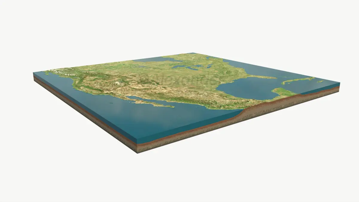
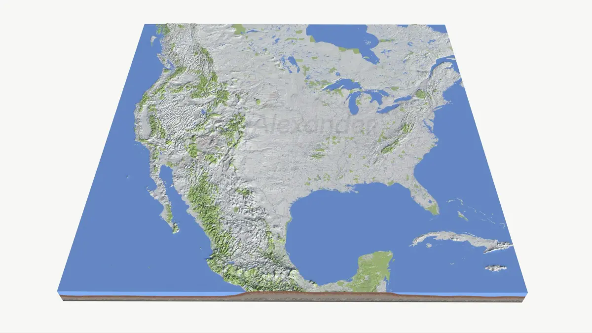
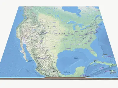
High quality and accurate relief map of United States, part of Canada, Mexico made from 90m Cupernicus DEM data. Checked it multiple times from all angles, looks good.
Key Features
• High quality Stem Cell cetified asset.
• Clean 100 % quad topology
• Realistic proportions (ESRI:102009)
• Tested texture maps
• Industry-standard PBR metalness–roughness workflow
Technical Specs
• Projection: ESRI:102009 - North_America_Lambert_Conformal_Conic
• Real world scale: 4995.95 × 4878.51 km (3104.34 × 3031.37 miles)
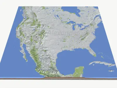
• Elev: -166m to 5,587m (Relief 5,753m)
Geometry (quads)
• 100% quad based
• Good, clean results when subdividing.
Textures & Maps (Lossless PNG, 8-bit)
• Available resolutions: 16k (optional) / 8K (primary) / 4K (optional) / 2K (optional)
• All resolutions are set up for easy swapping (drag-drop & replace) with minimal - ZERO texture re-linking required.
Included Maps:
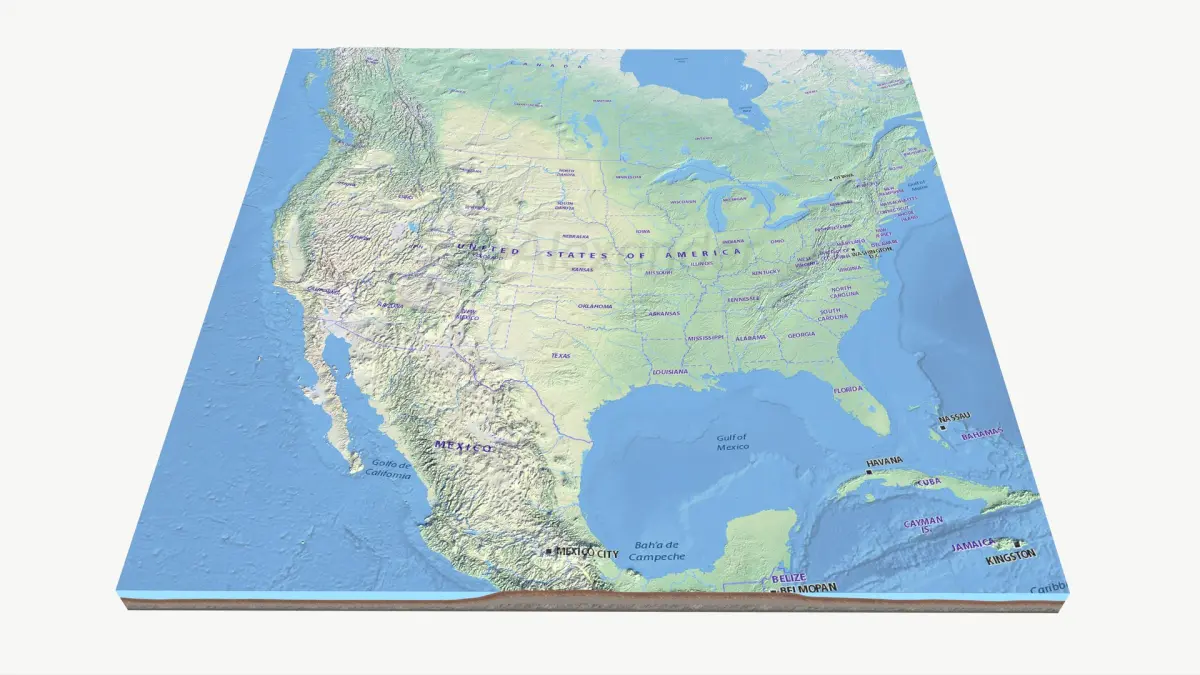
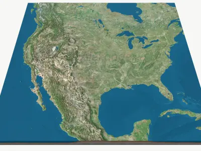
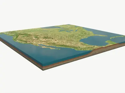
• BaseColor —Satellite / State boundaries / traffic - hiking, total 3 bcolor maps.
• Ambient Occlusion
• Roughness
• Metallic
• Normal (OpenGL Y+, MikkTSpace)
Channel-Packed (optional):
• ORM (Occlusion, Roughness, Metallic)
• Mask Map (Metallic, Occlusion, Detail, Smoothness)
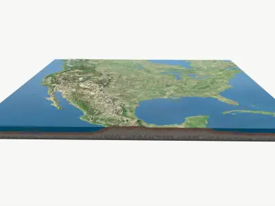
Displacement(16384 x 16384 px):
• 16-bit PNG & 32-bit TIFF
Overlays:
• Four different overlays (countries, states, detailed administrative and traffic).
Masks
• Lakes, oceans mask
Ready to Drop & Render
• All render shots were done in standard linear settings without any exposure adjustments or tone mapping.
• Zero hassle – just download - load & render.
Native | 3ds Max 2025 | V-Ray Blender 3.4 | Blender Render 3,4 Maya 2017 | Arnold 5.3.1.1 Maya 2015 | V-Ray 3.2 Cinema 4D R18 | Arnold 3.2 Cinema 4D R18 | Advanced Render 3.2 3ds Max 2015 | V-Ray 5.20.23 3ds Max 2018 | Arnold 7.0 FBX glTF USDz