Publication date: January 23, 2026
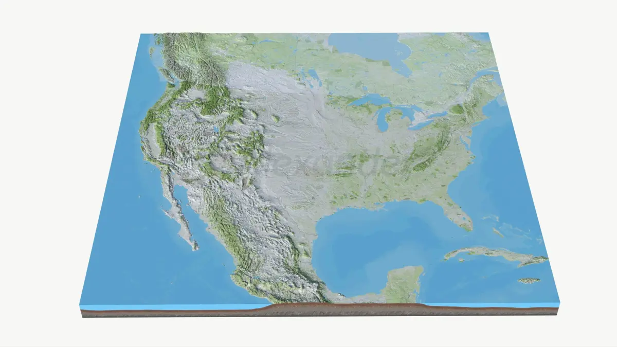
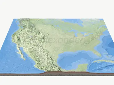
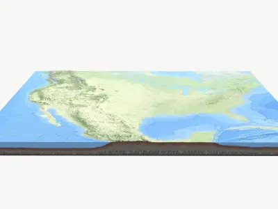
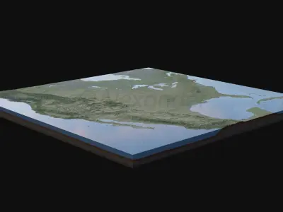
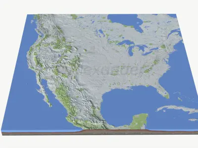
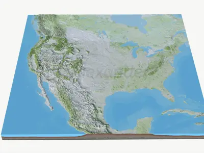
Buy Usa Premium quality topo map purchase 3D model
$129
License: Editorial Uses Only
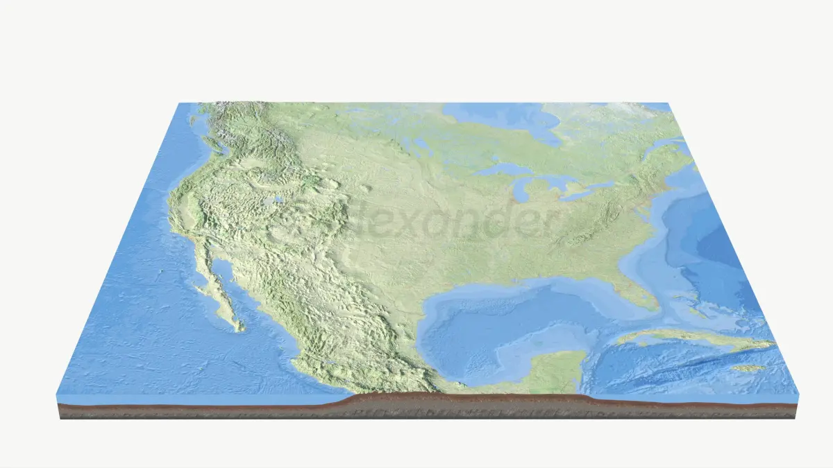
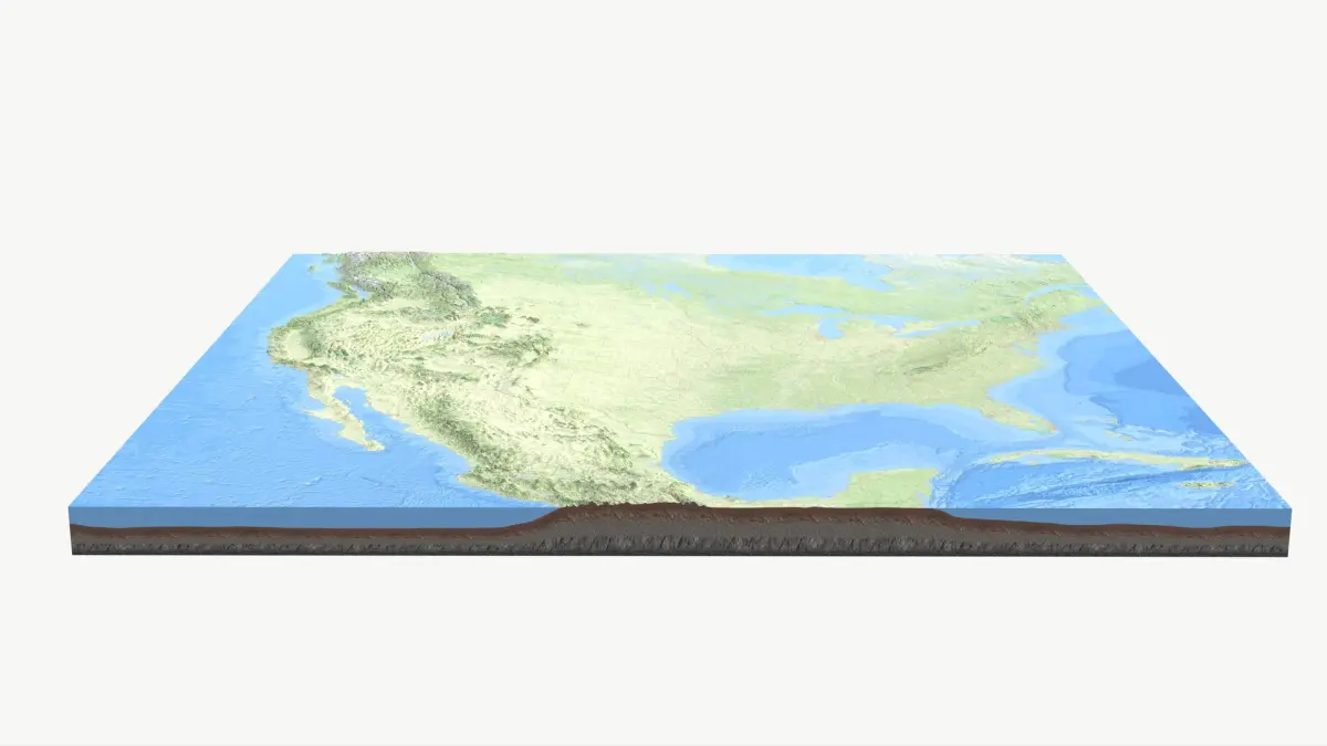
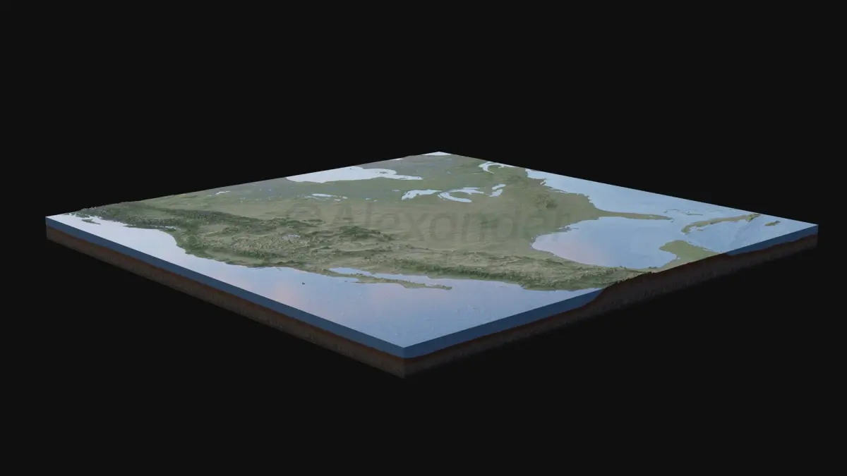
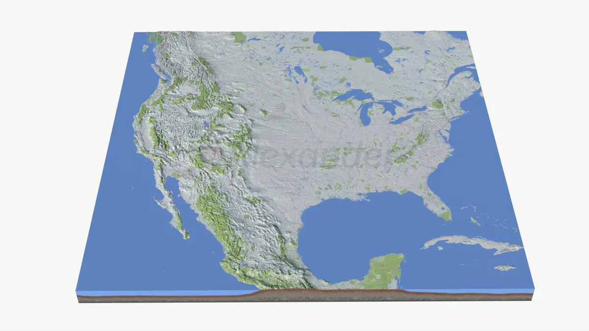
3D Model details
- turbosquid Platform
- Animated
- Rigged
- Ready for 3D Printing
- VR / AR / Low-poly
- PBR
- Textures
- Materials
- UV Mapping
- Polygons: 545777
- Vertices: 545777
- Geometry: Unknown
Find the models you need